Cycling tours in Stuttgart
1. Tour: Schloss Solitude
Length: 13,6km
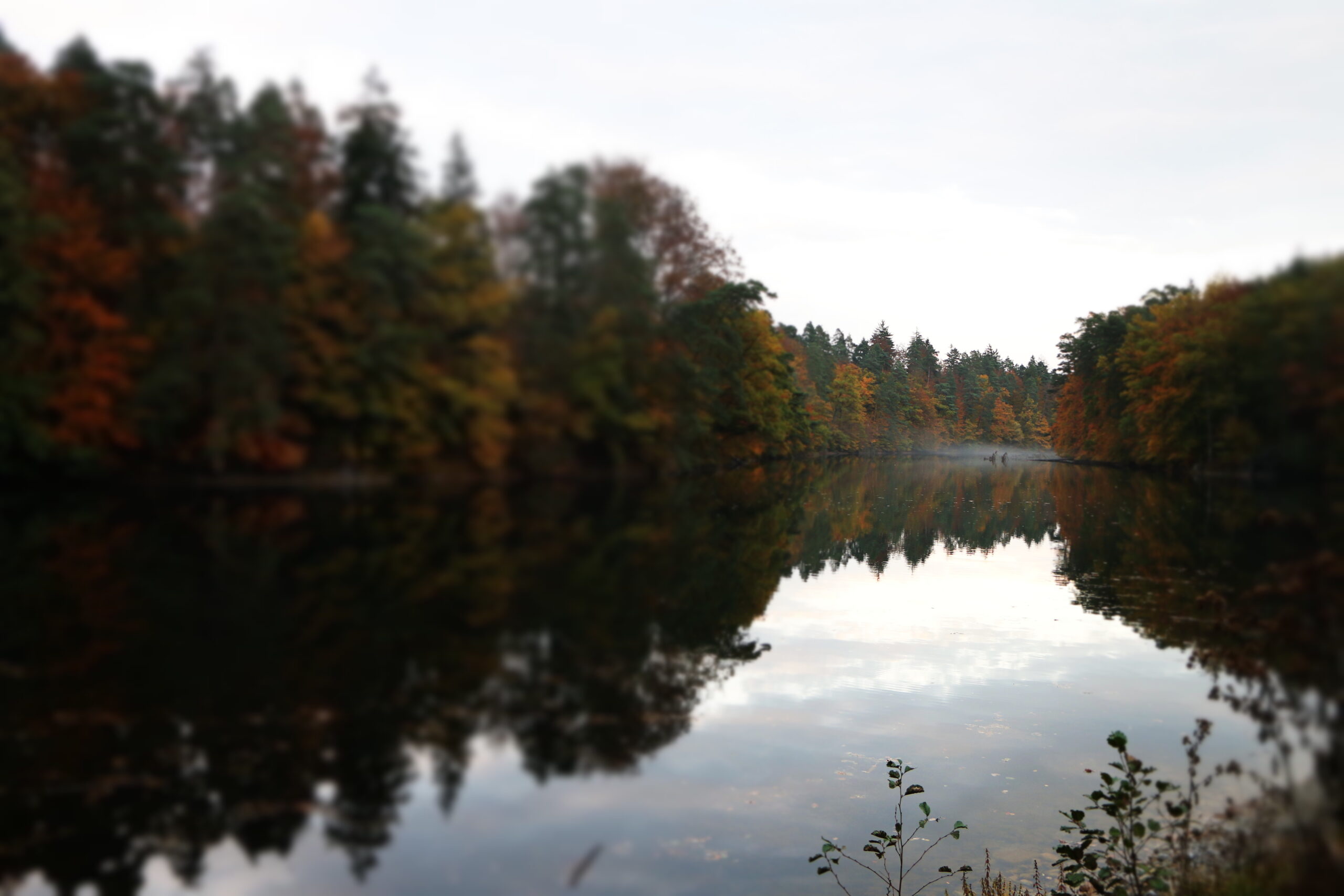
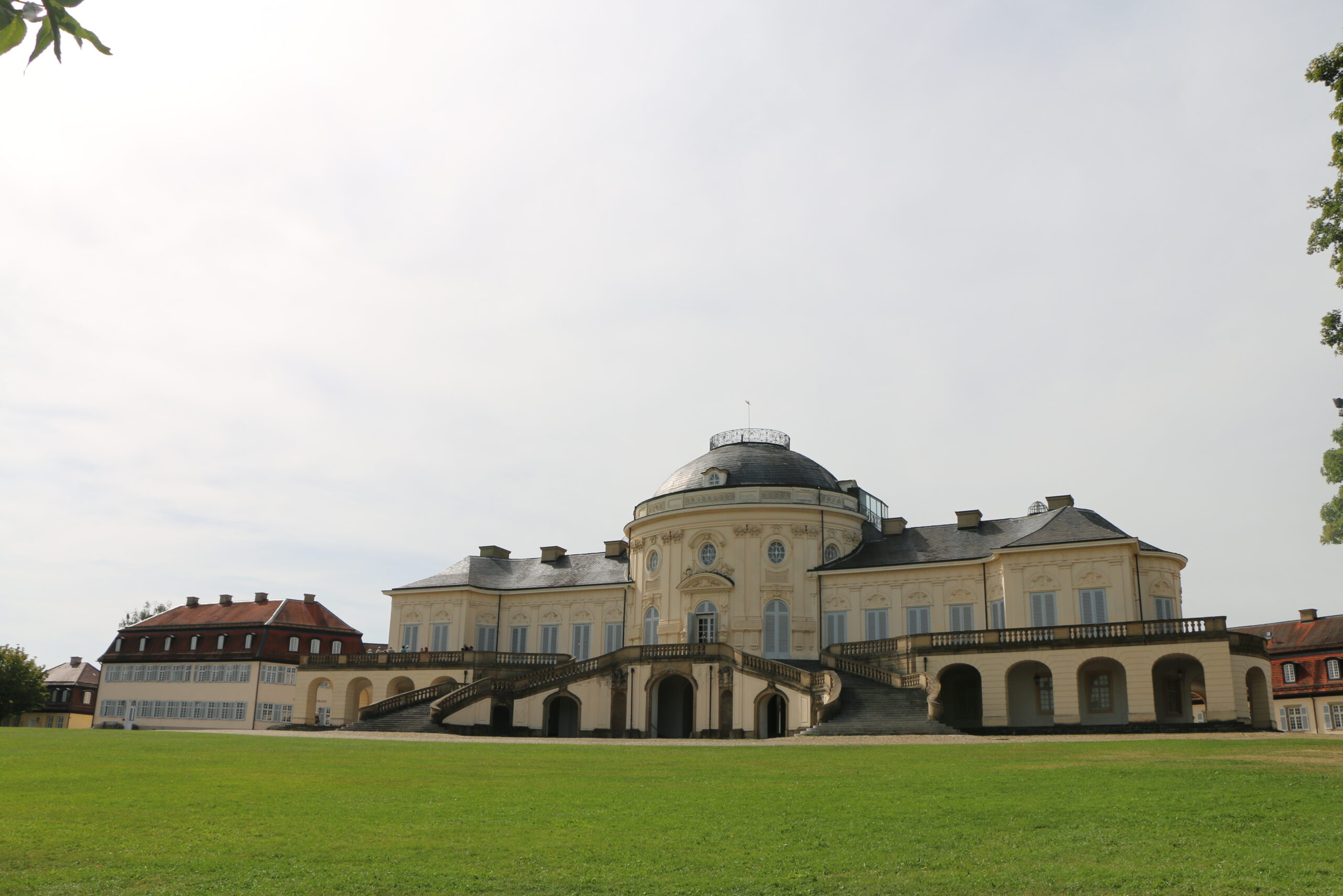
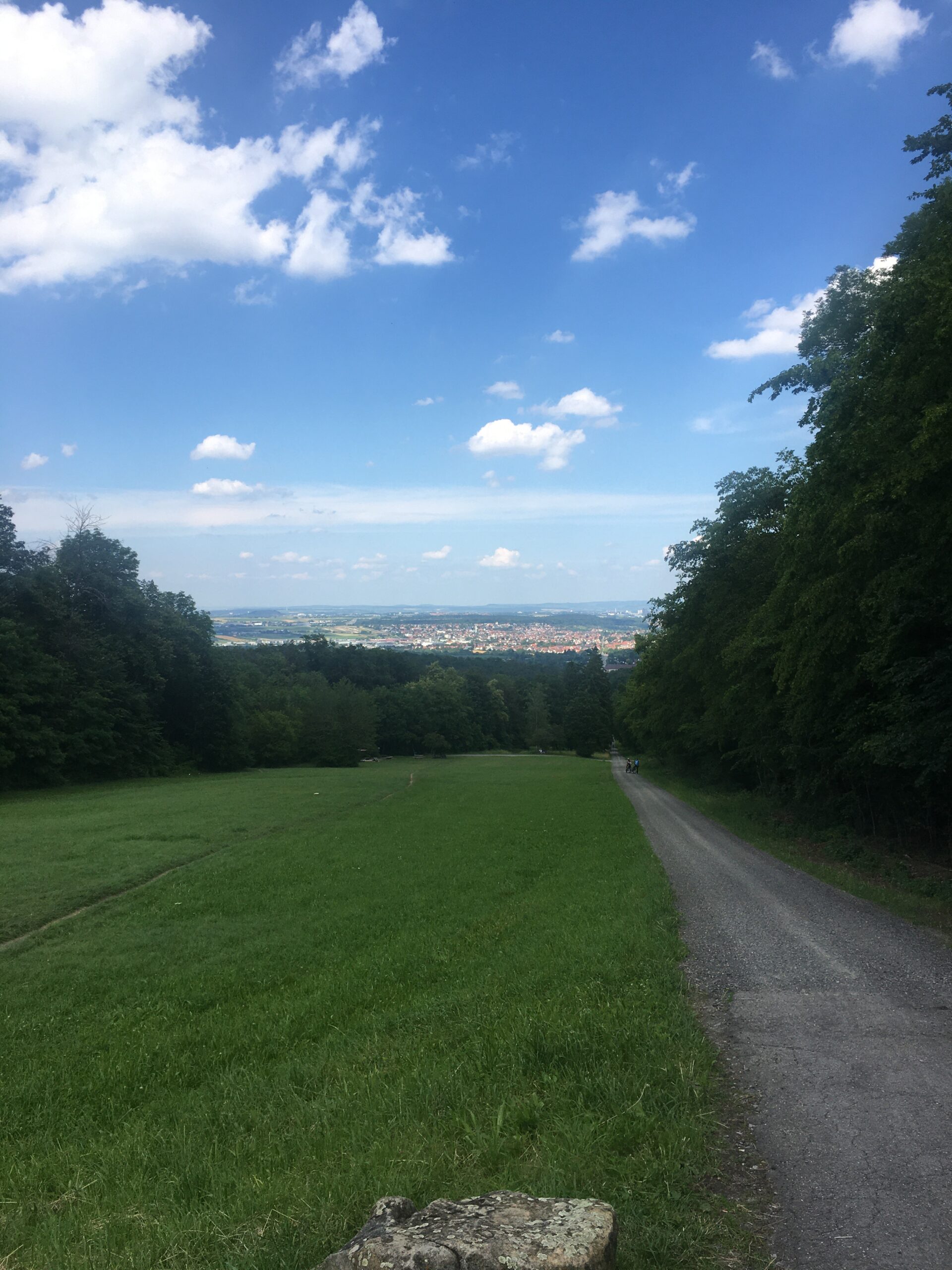
Our first bike tour takes us to Solitude Castle. We start at the S-Bahn station and first head west to the lower Unisee. From there we keep along the edge of the forest and follow the signs to the Bärenseen. After crossing a road over a bridge above a roundabout, we ride up a small hill to the right to the Bärenseen. From there we continue to the left to the end of the 2nd and then the 3rd lake. After reaching the end of the top lake, we leave the valley and ride up a hill to the left. Wir haben nun die BruderhCycling tours in Stuttgartausalle erreicht, die wir nun nach Norden immer geradeaus verfolgen. After crossing a dual carriageway and a last small stretch of forest, we see our destination, Solitude Castle, ahead of us. A beautiful view here invites you to have a picnic.
On the way back, we head east along a series of car parks. We now follow the signs to the Bärenschlössle, cross the motorway again and keep going straight south on a tarred road, the “Bärenstraße” back. After passing the Bärenschlössle, we descend a serpentine to the middle Bärensee. After crossing the dam wall, we turn left and take the same route back to the university that we took at the beginning. Follow the signs to the university. After a long climb, we finally reach our starting point at the S-Bahn station.
Link to the Route with GPX-Track: https://cycle.travel/map/journey/307175
Map as Pdf: Schloss-Solitude.pdf
2. Tour: Schloss Solitude, Ludwigsburger Schloss, Max-Eyth-See, Bad Cannstatt
Length: 42km
This tour builds on our first bike tour. The start is at the S-Bahn station on the Vaihingen campus. The route to Schloss Solitude is therefore exactly the same. When you arrive at Schloss Solitude, you can already see your next destination 13 kilometres away. To get there, head northeast along Ludwigsburger-Alle before continuing along the road and passing Wolfbusch, Weilimdorf and Korntal. After crossing the railway tracks, the road in Korntal turns right to the east, but you keep straight on and cycle up a hill into the Seewald. After the B10 blocks your way at the end of the forest, you have to pass it southeast over a bridge before turning left again after the bridge and then right again onto Solitudealle. This leads you across open fields to Ludwigsburg. There you cross the tracks and drive along Solitudestraße in a northerly direction until you can no longer go straight ahead, where you turn right at a shopping centre. After you have crossed a large intersection, you have already reached Ludwigsburg Castle.
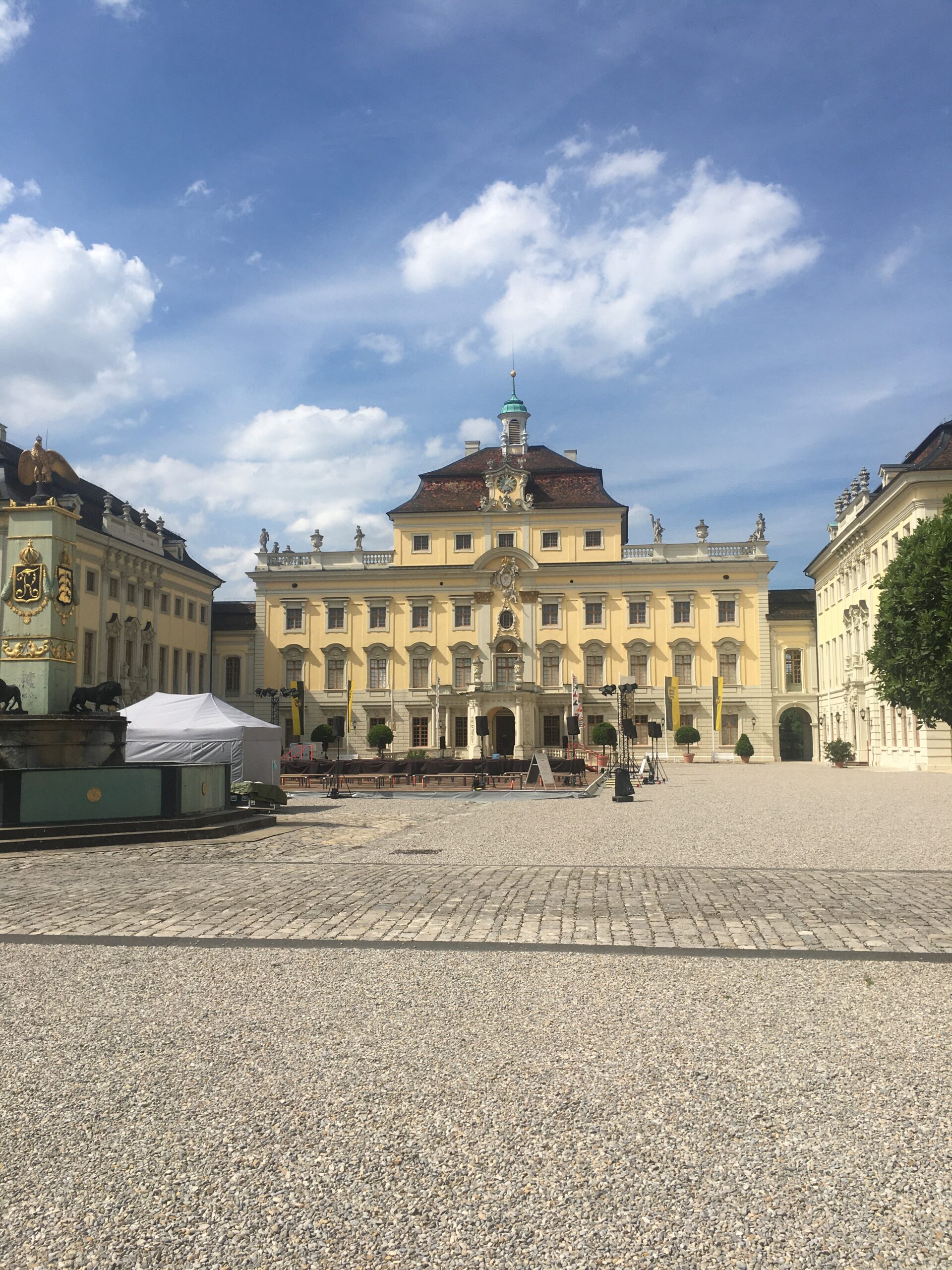
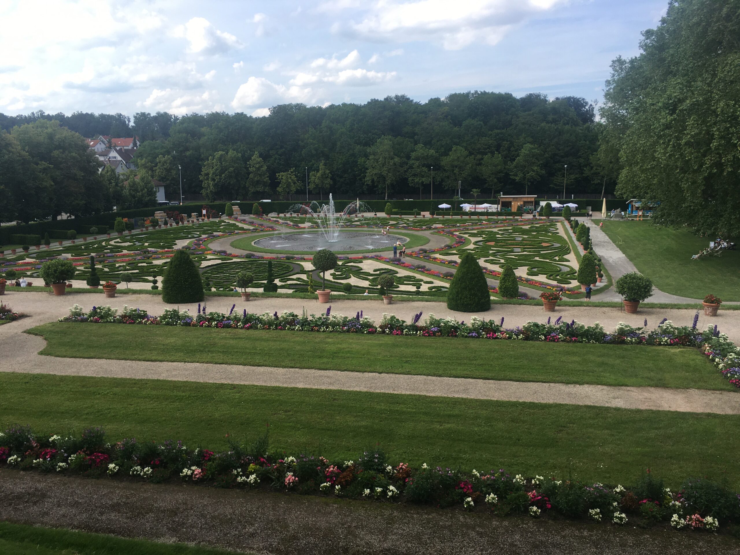
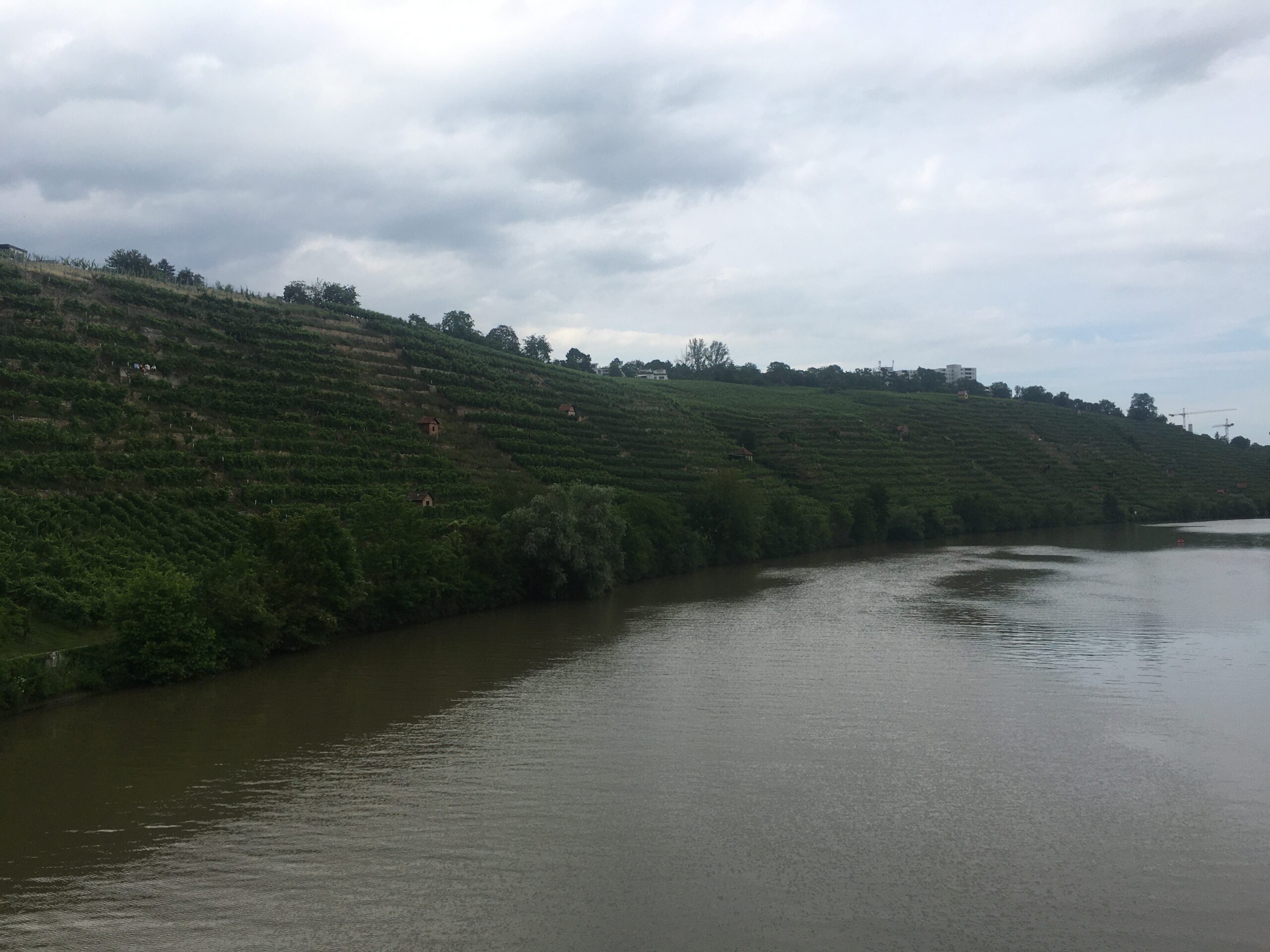
The castle courtyard or the gardens are ideal places for a break. Afterwards, we continue in an easterly direction along Schorndorfer Straße. At the third southern crossroads (Jägerhofallee), we turn right towards the south. We follow the avenue until we reach a park and a larger road. We now follow this road (Aldinger Straße) in a south-easterly direction, past Grünbühl-Sonnenberg and Pattonville until we come out in Aldingen after a steep descent. Once in the valley, we can already see the Neckar River behind the T-junction. However, we first have to turn right to get to the Neckar in an easterly direction between a multi-storey car park and the DIY store next to a small stream. Once at the Neckar, we continue cycling in a southerly direction. You now pass Mühlhausen and come to the vineyards, also known as Cannstatter Zuckerle. Cross a small pedestrian bridge and change sides of the river to take a break at the Max Eyth Lake and let your feet dangle in the water (beware, cycling is prohibited around the Max Eyth Lake!).
After this break, we go back over the bridge to our original side of the river and continue south past Münster. Finally, you will see the Wilhelma on your right. You can change river banks again here under the new Neckar bridge and reach the S-Bahn station in Cannstatt. This is where our journey ends, but you are welcome to extend it further and return to the university via Rosensteinpark, Pragsattel, Bismarck Tower and Birkenkopf, for example, or follow the route to the grave chapel from here.
Link to the Route with GPX-Track: https://cycle.travel/map/journey/307181
Map as Pdf: Solitude_Ludwigsburg_Max_Eyth_See_Cannstatt.pdf
3. Tour: Siebenmühlental
Length: Maximum of 31km (Depending on when you turn around)
Our tour starts at the S-Bahn station Universität on the Vaihingen campus. We first head west to the upper Unisee (the pond) before passing the IZ and turning left up a small hill to reach Universitätsstraße. Here we continue south on Universitätsstraße before turning off at the next bend and heading towards Vaihingen. When you see a crossroads with traffic lights ahead, turn right into Heerstraße. At the first street that turns south (Gartenstraße), we turn into it and follow it until we come to a small park with a lake and it is no longer straight ahead. At this point we turn left briefly to reach a kind of V-junction. Here we turn right again and continue south along Ackermannstraße. After a short jag at the end of the road, we follow Siedlerstraße. At the end of the road we turn left and meet a larger busy road. We keep to the south on this road and follow the signs to Rohr. After passing a roundabout, we come to a longer, steeper hill in Rohr, the Schönbuchstraße. We follow this road and cross the motorway, now the road is called Vaihinger Straße and we pass Oberaichen and Musberg. In Musberg the road makes three 90° bends and after a steep hill at the end, we have arrived in the valley. Here you have to brake sharply, because our path leads us sharply to the right, in a southerly direction on a tarmac footpath and cycle path. Here you should also see signs pointing you in the direction of the Siebenmühlental. Continue straight ahead along this path, through woods and across open meadows. We now pass the Mäulesmühle, the Schechtenmühle, the Schlösslesmühle, the Walzenmühle, the Kochenmühle, the upper and lower Kleinmichelesmühle and last but not least the Burkhardtsmühle. If you haven’t lost count, you should have seen all the mills in the Siebenmühlental by now. At this point our route now turns around.
It is worth taking a short break at one of the mills on the way back. Of course, you don’t have to take the route to the end of the valley, but can also turn around after the first mill. Our way back is the same until we reach Vaihingen. Whereas on the way there we rode on smaller side roads, our way back always takes us along the main road, past the Schwabengalerie and the STEP, back to the campus. After the STEP, the route rejoins our initial route and you reach our starting point at the S-Bahn station again.
Link to the Route with GPX-Track: https://cycle.travel/map/journey/307501
Map as Pdf: Siebenmühlental_local.pdf
4. Tour: Birkenkopf, Bismarckturm, Höhenpark Killesberg, Rosensteinpark, Grabkapelle
Length 25,5km
Our tour starts at the S-Bahn station Universität on the Vaihingen campus. From there we first head west to the upper Unisee. Here we now follow the Pfaffenwaldring to the north and along a bend to the east. When we reach the combined heat and power plant, we turn north into the forest. At the first junction we turn right and cross the B14. We now keep going downhill to the left until we cross the B14 again over a bridge. After the bridge, we turn right in an easterly direction. We follow this path for a long time. After a slight uphill at a playground, we pass it and then take a steep path in a north-easterly direction, which takes us to a crossroads below the Birkenkopf. With the help of two traffic lights, we cross the two roads here. We now have to carry our bike up a few steps before following a spiral path to the top of Monte Scherbellino (Birch’s Head). If you are interested in the history of the mountain, there are some information boards at the bottom.
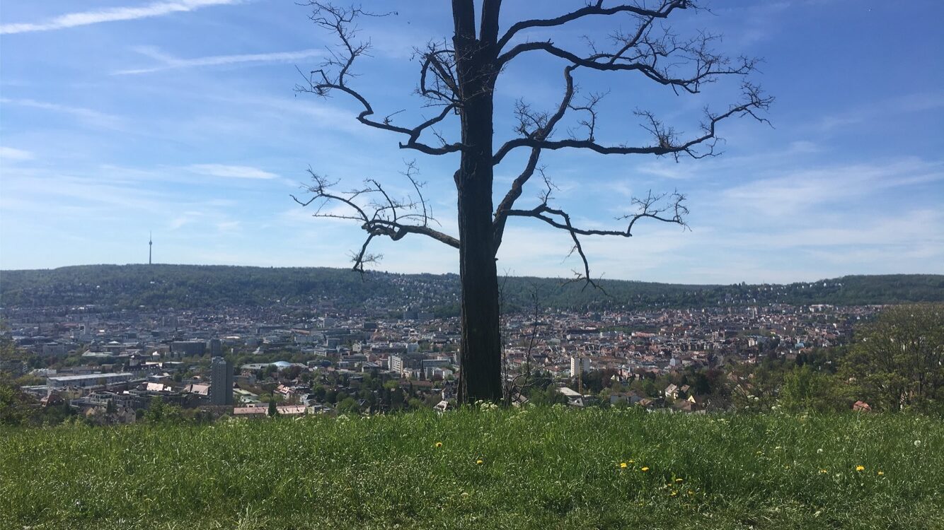
After arriving at the top and enjoying the view over Stuttgart, we first ride the same route back down before turning right at the first intersection in a northerly direction and now always ride downhill parallel to the road. The Geißeichstraße crosses a valley over a bridge in Botnang, but we ride through the valley and up again on the other side. After we have reached the level of the bridge again, we take a smaller forest path into the Krähenwald. From now on we follow this path, which repeatedly makes smaller loops parallel to the road. If you don’t feel like it, you can also use the cycle path along the road. After a longer ride, we come to a crossroads where there is a small house in the middle of the road, the Doggenburg. Here we cross the intersection and now no longer follow the larger road, but head northeast along the Feuerbacher Heide. At the end of the road, we take a paved road up to the Bismarck Tower. Here you can take a break and enjoy the significantly different view over Stuttgart than you had at Monte Scherbellino.
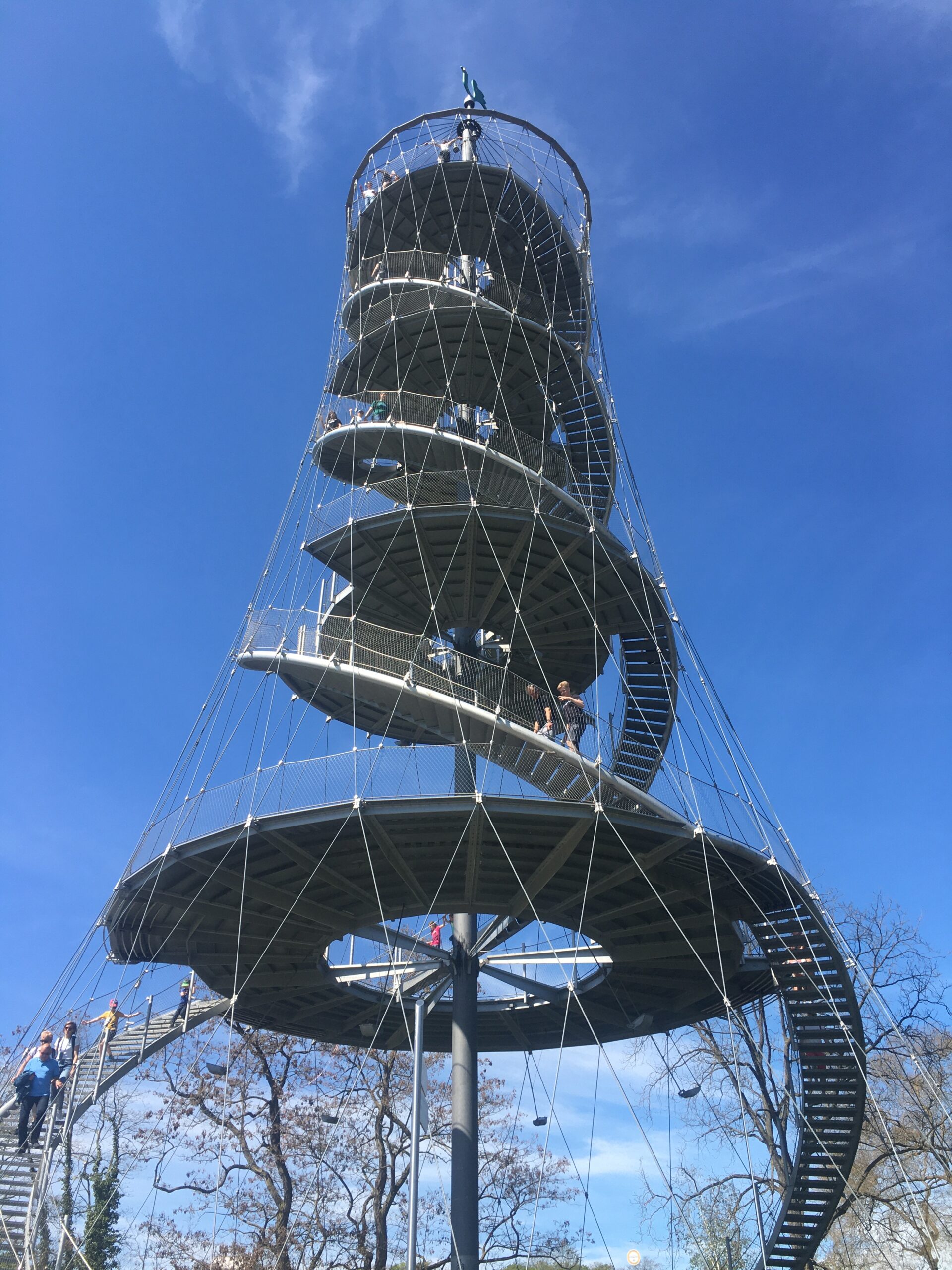
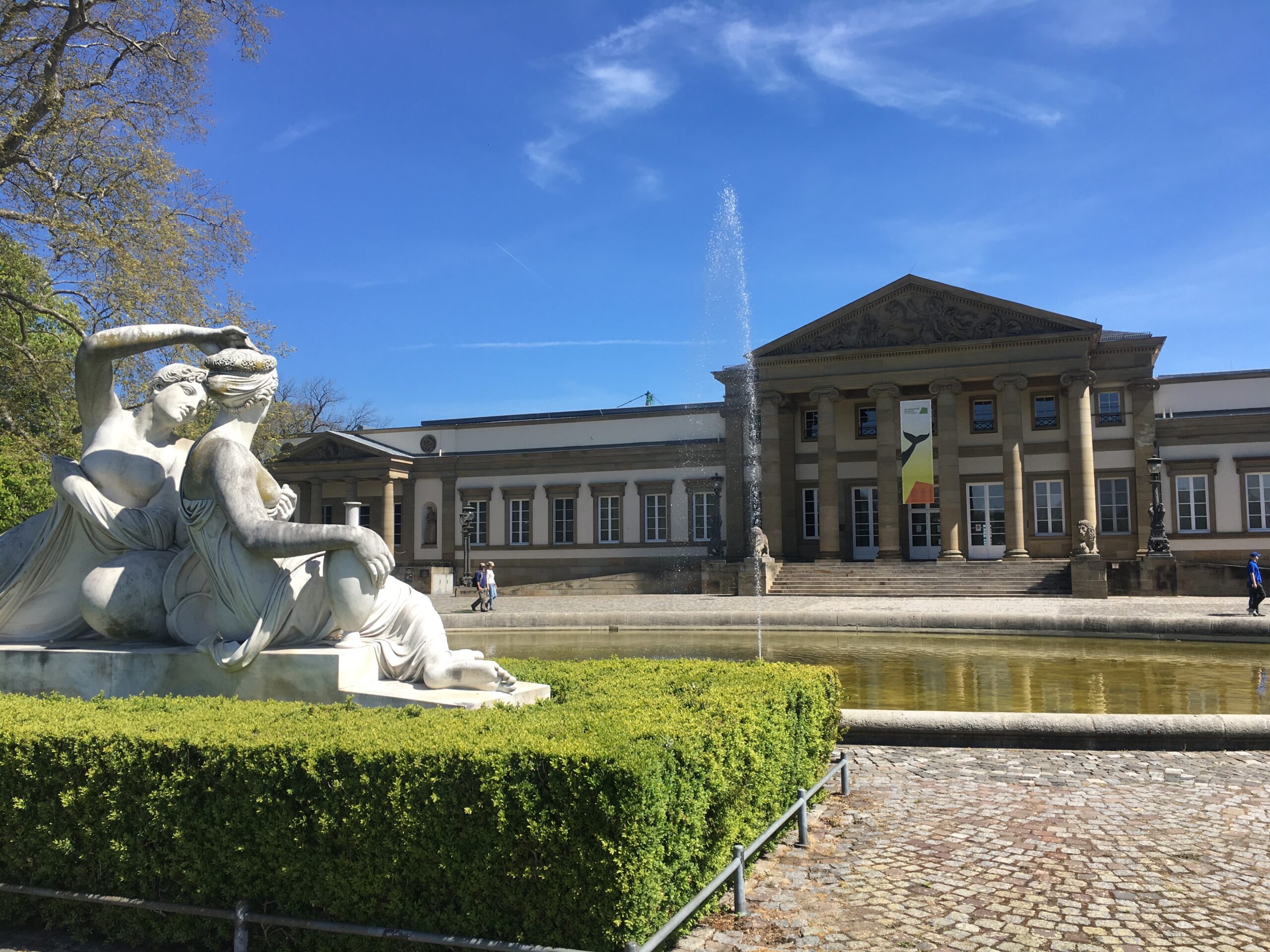
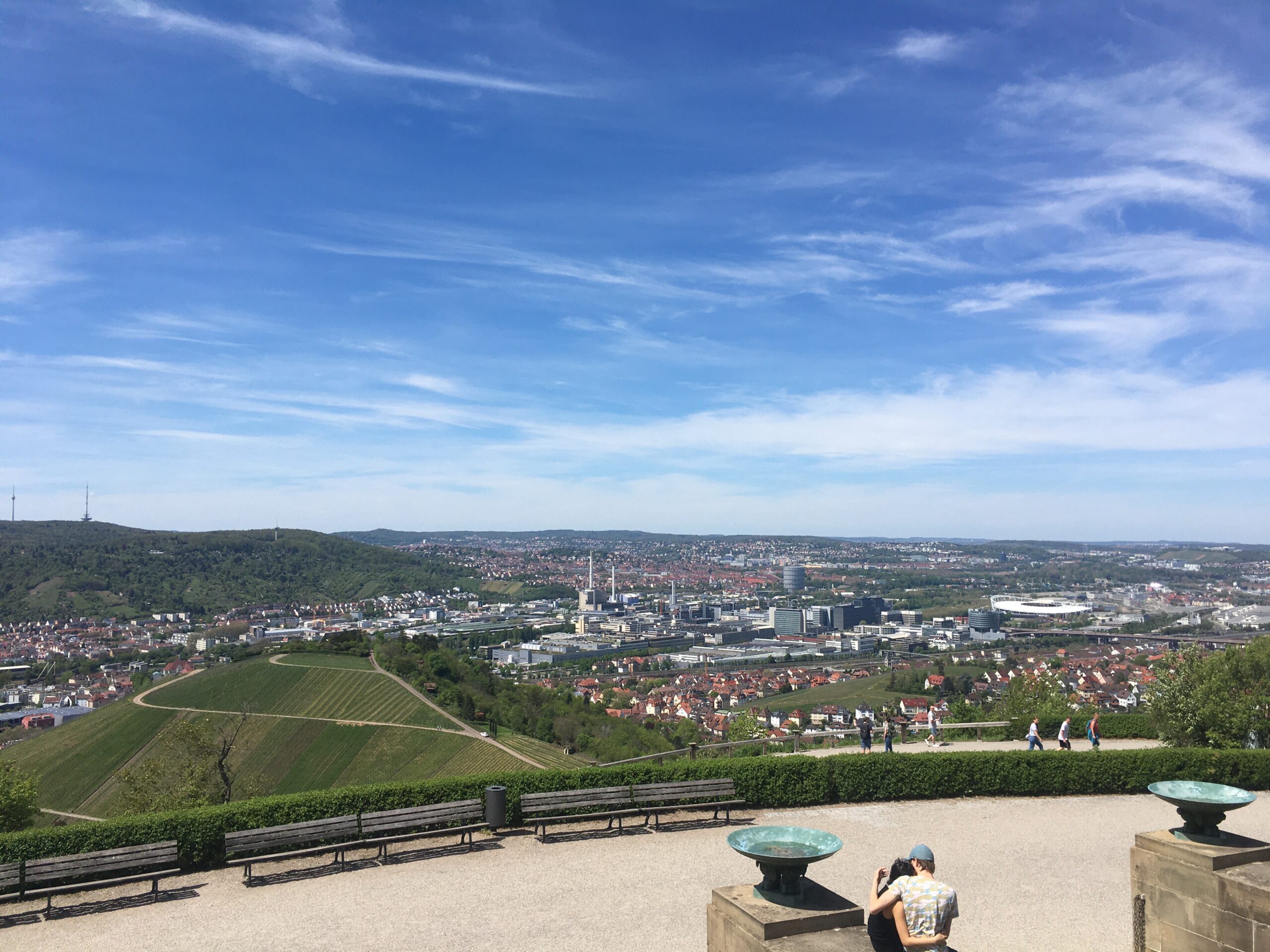
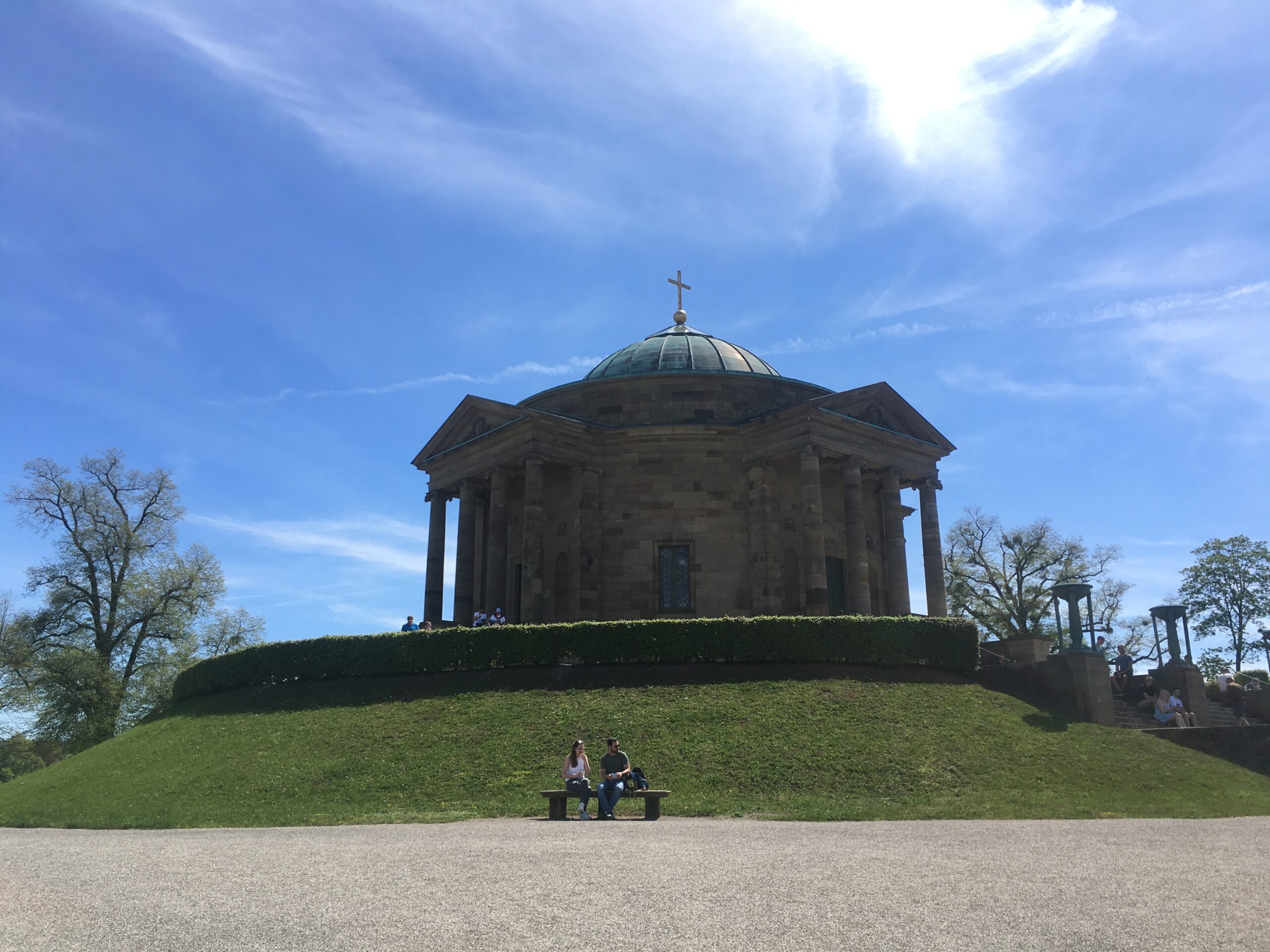
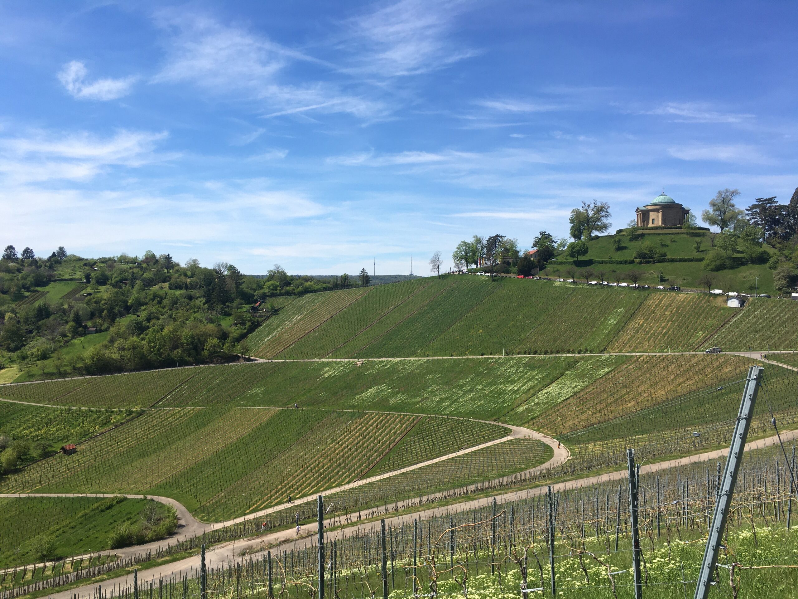
We then continue along the road before heading north downhill. Arriving at the tennis courts, we make a small detour to the left before continuing north through a park analgage and crossing the big road over a bridge. On the other side of the road we turn right and finally reach the beginning of the Höhenpark Killesberg. Here we follow a long straight path that takes us past directly below the viewing platform. Those who are not afraid of heights here can dare the climb. Our journey continues straight ahead, past the playgrounds and the animal enclosures. Please watch out for playing children here! After leaving the park, we continue downhill along Heidestraße in an easterly direction before following the road to Pragsattel. Here we leave the underground station on our left and now cross the road over a bridge. Here you have another opportunity to ride in a spiral to a small viewpoint. Then we go downhill and make a sharp hairpin bend at the next junction. Over another bridge we cross Nordbahnhofstraße and reach Rosensteinpark. After reaching the park, we turn north and follow this circular route past the Natural History Museum. We now follow the signs that lead us to Bad Cannstatt and cross the underground tracks. After a larger serpentine we reach the mineral bath Leuze and cross the Neckar. On the other side of the river we now continue in a south-easterly direction along the river bank. After passing a large industrial area in Untertürkheim, we first cross under the railway lines. On the other side, we pass the S-Bahn station in a south-easterly direction until we meet Heppacher Straße. We now follow this road ever northwards, past some wine shops. After driving through the vines in open fields, the road makes a bend to the left. However, we continue steeply uphill and turn right at the second junction. We now follow this road to the end and then head southwest along the Moletshalde. When we arrive in Rotenberg, we follow the signs to the grave chapel. We have now reached our destination and you now have the complementary view to the view we had at Birkenkopf. For the way back, you can take the same route or continue through the vineyards to Obertürkheim and back along the Neckar.
Link to the Route with GPX-Track: https://cycle.travel/map/journey/307735
Map as Pdf: Grabkapelle.pdf
